|
Getting your Trinity Audio player ready... |
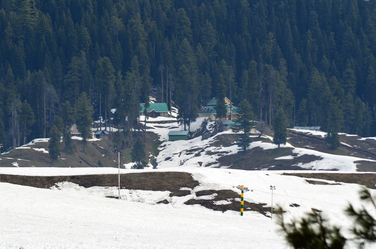
Surankote is a Tehsil and Town located in Poonch district of Jammu and Kashmir. It is popularly known as the Pahalgam of Poonch and Mini Kashmir. Physically Surankote located in the Southern slope of Mighty Pir Panjal range. The town of Surankote is about 1400M above from sea level.
| Tehsil | Surankote |
| District | Poonch |
| Division | Jammu |
| UT/State | Jammu and Kashmir |
Climate of Surankote
The Climate of Surankote is mild temperate and is much similar to valley of Kashmir. Winters are cold and summers are pleasant. The maximum temperature during Summers can reach upto 37°C and Minimum temperature in Winters can reach upto -7°C. July is the hottest and January is the coldest month in Surankote.
Physiography of Surankote
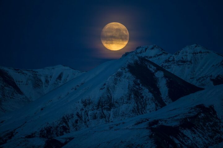
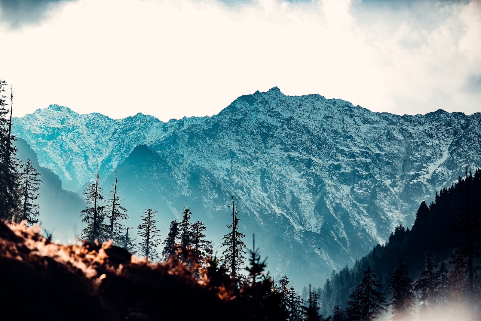
Physiographyically Surankote appear as a V shaped valley. Suran River is the main River which flows through Surankote and the River is surrounded by terrain of mountains which give its V shaped valley in appearance. The main Town Surankote is situated at the bank of Suran river. It is about 25-30 meters above the Suran River level. The Surankote is surrounded by mountains from all the four sides, but the Northern,Eastern and western sides have much elevated peaks as compared to the Southern sides. These mountains contribute in beauty of Surankote when they coverd with snow. During Winters These mountain received heavy snowfall. The Pir Panjal range is also passes through Surankote. The highest peak of Pir Panjal range ( Tatakooti) is also located in Surankote. The elevated peaks of Surankote remains covered with snow through most of the part of year.
The Surankote tehsil shares it’s boundaries with Thanna Mandi in the East,Kulgam and Shopian in the North East, Budgam in the North, Mendhar in the South , Mandi and Haveli in the Western side.
Tourist places of Surankote.
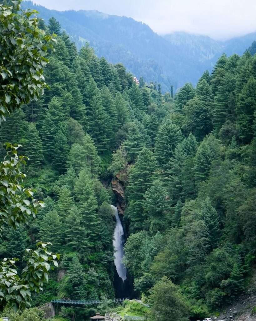
- Noori Chamb : It is the beautiful waterfall located in Behramgalla village of Surankote. It is about 16km away from Surankote town in a way of Mughal Road. The name of this waterfall is derived from the name of famous mughal queen Noor Jahan.
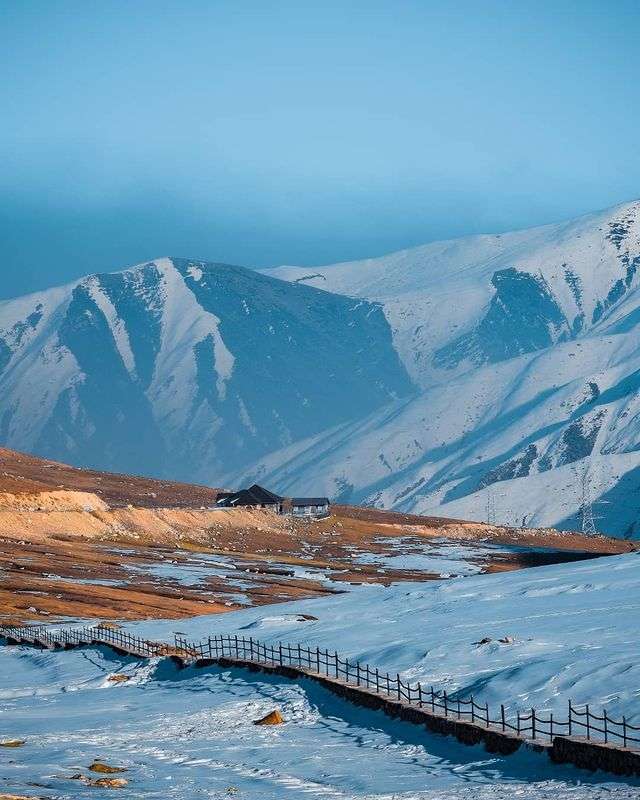
2. Peer Ki Gali:- Peer Ki Gali is the mountain Pass and the highest point of Mughal Road. It is situated at the elevation of 3300M from Sea level. It is about 56km away from Surankote town. Over most of the part of the year this place remains coverd with Snow. The best time to visit here is June to October.
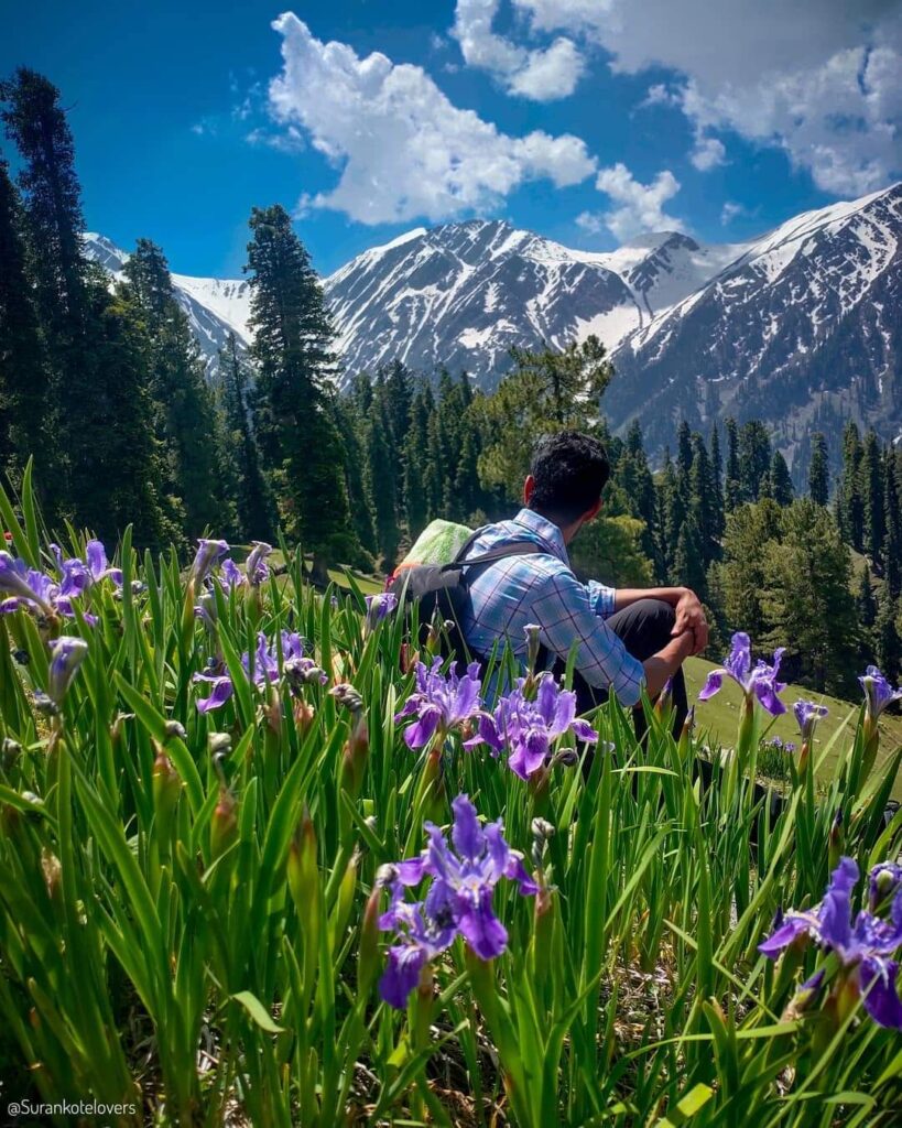
3. Girgan valley. :- It is the most beautiful site in Jammu and Kashmir located in Surankote Tehsil of Poonch district. It is popularly known as the valley of seven lakes. It is the beautiful kush green meadow with lakes situated in the vicinity of Pir Panjal range. Presently there is no road connectivity at the site. There is only way to reach this place is by foot. Government of Jammu and Kashmir planning to connect this site with road at an earliest and made it easily accessible to tourists.
4. Jabbi Toti : Jabbi Toti is a beautiful meadow located in Surankote Tehsil. It is about 19 km away from Surankote Town in Hari Marhote area. From Jabbi Toti you can view whole of Poonch district and also the territory of POK. The best time to visit Jabbi Toti is March to November.

Besides it there are many other beautiful places in Surankote such as Chatta Pani, Dehra Ki Gali, OC Dhok,Shastar, Chamrar Gali,Buffliaz, Panjal ,Ranjhati, Chanowali, Hill Kaka, Bachian wali etc.
Danish Hussain Shah
How to reach Surankote
There is only one way to reach Surankote is by Road. Firstly you need to reach Jammu or Srinagar by Bus,Train or Aeroplane and there after book a taxi or bus for Surankote. From Srinagar to Surankote the Mughal Road is the shortest route which is about 140km long . From Jammu to Surankote – Jammu Poonch National Highway is the best route. The distance from Jammu to Surankote is 211km.
Thanks for reading this article.
Regards : Danish Hussain Shah


