|
Getting your Trinity Audio player ready... |
Jammu & Kashmir and Ladakh is going to witness season first major wet spell from today . Since the past few months J&K and Ladakh witnessed deficiency in precipitation, it has been observed the Jammu and Kashmir has received 80% less precipitation during the month of December & January.
This wet spell will bring moderate to heavy rain and snow over many parts of Jammu and Kashmir, Ladakh till 28 February. Maximum impact of this western disturbance likely to be over parts of North Kashmir, Pir Panjal & Chenab valley districts.
Higher reaches of Jammu & Kashmir may witness snow blizzard due the next 3 days…
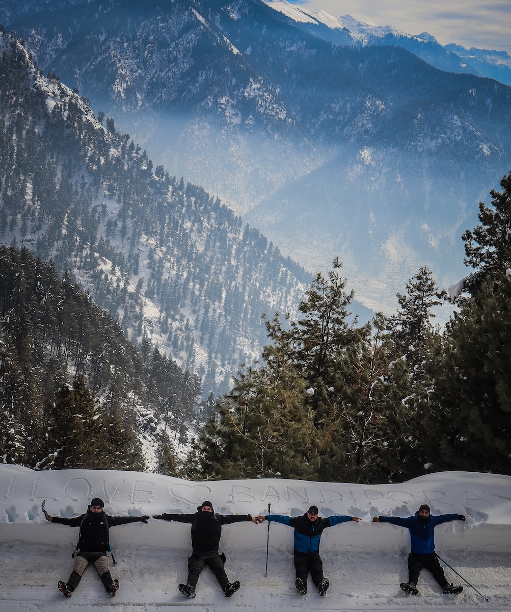
As per our analysis, some higher altitudes of Kupwara, Baramulla, Bandipura, Budgam, Poonch, Rajouri, Doda, Kishtwar , Kulgam, Shopian, Anantnag, Ganderbal & Ramban district may receive heavy spell of snowfall. The accumulation of snowfall is vary from 2-5 feet.

The plains of Kashmir, Jammu & Lower reaches of Chenab & Pir Panjal may witness light to moderate and somewhat heavy rain & thundershowers till 28 February.
Anothere wet spell expected to hit Jammu and Kashmir from 2nd of March.

For more updates follow our live blog .
Current weather in J&K , 9pm
Currently lightly raining observed over many parts of Jammu and Kashmir & lightly snowing observed over higher elevations of the UT, system is going to intensify from midnight/ early morning hours, you are all requested to connected with us for more updates.