A fresh Western disturbance is going to affect parts of Jammu and Kashmir from tomorrow night. The intensity of this system is Weak and nothing significant activity expected.
Under the influence of this Western Disturbance some parts of Jammu and Kashmir may witness light snow especially Higher Reaches of the UT
More Read

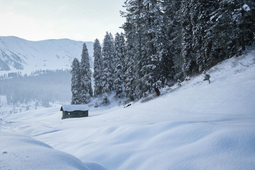
Kashmir Division Weather
The plains of Kashmir including Srinagar city may experience light rain showers during this spell. The snowfall chances are less over the plains of Kashmir during this spell. Higher Reaches of the valley especially the upper reaches of Kupwara, Bandipura, Ganderbal, Baramulla, Budgam, Shopian, Kulgam and Anantnag may experience light to slightly moderate snow.
Jammu Division Weather
There are very low chances of Rain over the plains of Jammu Division but the higher altitudes of Jammu Division including Poonch, Kishtwar , Doda, Ramban, and parts of Rajouri , Reasi and Kathua districts may receive light rain/snow. Overall nothing significant expected over many parts of the region in this spell as of now.
Ladakh Weather
During this Western Disturbance light to slightly moderate snow expected over the scattered places of Ladakh with occasional gaps.
Current Weather J&K, 10 PM
currently partly to mostly cloudy sky observed over many parts of J&K, Temperate is below freezing in many parts of Kashmir and in some parts of Jammu
Note; No Continuous precipitation expected and forecast is subjected to change, system intensity may increase or decrease, we will update you if system changes, so stay tuned / connected with us