|
Getting your Trinity Audio player ready... |
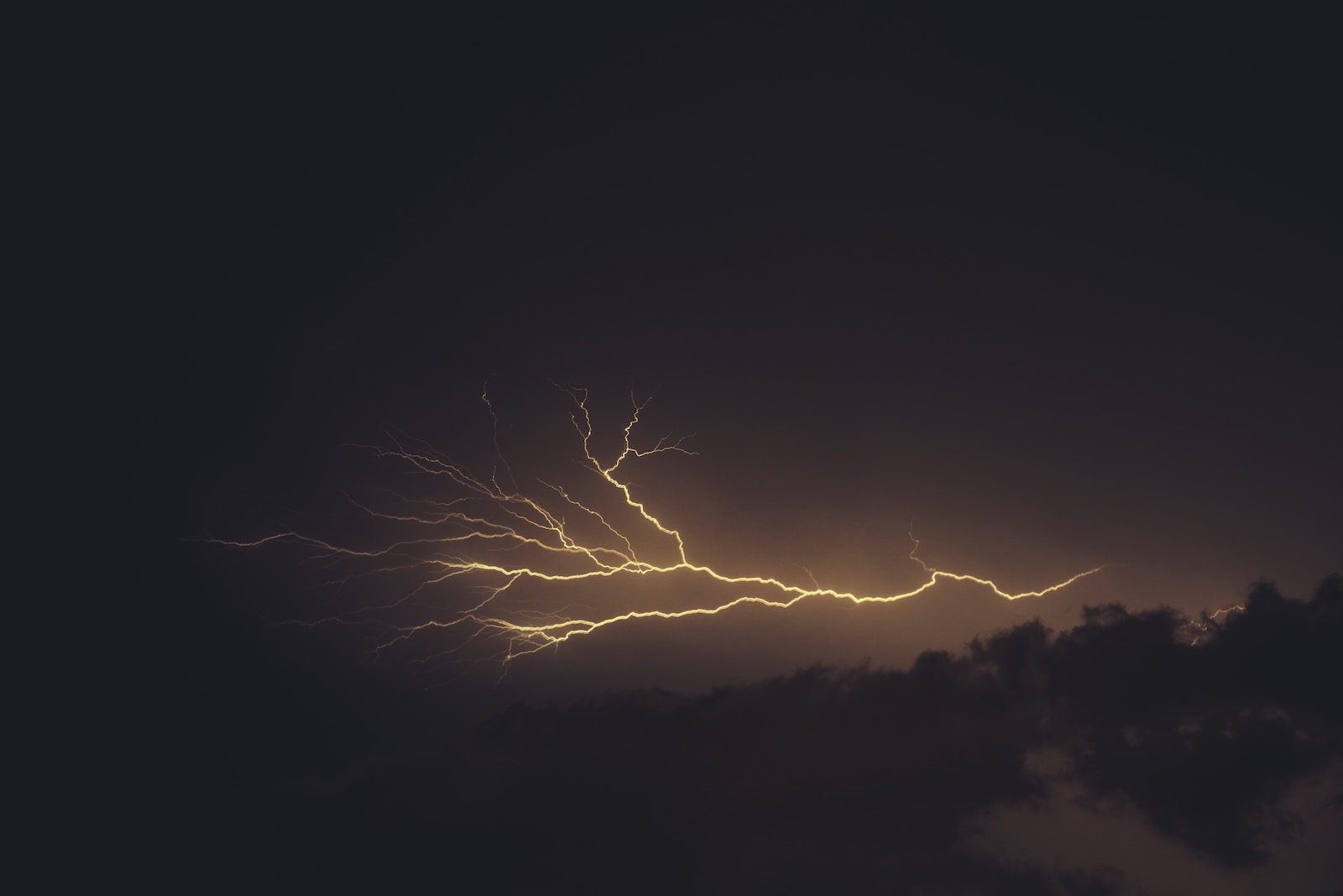
Jammu and Kashmir is under the grip of a moderate Intensity Western disturbance, under the influence of this western disturbance many parts of Jammu and Kashmir has received light to moderate rain , snow and thunder showers since yesterday.
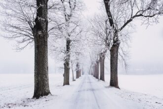
Higher elevations of Jammu and Kashmir have received good amount of snowfall since the past two days. Moreover some areas have witnessed thundershower with intense hailstorms…
After a day long raining, the rain in some Kashmir valley plains has changed into snow. As per reports some plains of North Kashmir Baramulla, Kupwara and Bandipura districts are receiving snowfall since afternoon.
Srinagar Weather
Tonight Forecast
Tonight more snowfall predicted over Higher and Middle reaches of Jammu & Kashmir and some plains of Kashmir. There are Good chances of snowfall tonight in Srinagar city if system remains same as expected. In Jammu plains there are Good chances of Rainfall which may give some respite from drought conditions that developed in the region due to shortage of rainfall during the last months.
Get Exclusive Live Weather Updates for Jammu & Kashmir , Ladakh only on J&K Weather
Pir Panjal & Chenab valley of Jammu Division may also receive Good precipitation during the next 24 hours. Higher and Middle reaches of Poonch, Rajouri, Doda, Kishtwar and Ramban districts may receive Good Snowfall tonight. The lower reaches of Chenab & Pir Panjal may receive Good Rain Showers tonight…
Improvement in Weather Expected from tomorrow evening/ late night hours / early morning of 1st March
J&K Weather
Weather Advisory
- Avoid to go towards Higher Reaches till weather improves
- Avoid to go near Rivers/ water bodies where the risk of flash flood is high.
- Avoid to go near landslides/ avalanche prone areas.
- Check Road status from PCRs/ J&K Traffic Police before travelling on Jammu-Srinagar National Highway & other landslide prone roads.
- During the next 24 hours Low to Medium level avalanche may occur over 2600M areas of Kupwara, Bandipura, Baramulla, Poonch, Rajouri, Doda, Kishtwar, Ramban, Anantnag, Badgam, Ganderbal, Shopian & Kulgam Districts.
- Snow blizzards may also occur over few Higher Reaches of Jammu & Kashmir During the next 24 Hours .
Ladakh Weather
During the next 24 hours, fairly widespread light to slightly moderate snowfall expected over the both Leh & Kargil districts…. The maximum impact likely to be over parts of Kargil district I.e Dras & other bordering areas Kargil with Jammu & Kashmir.