
|
Getting your Trinity Audio player ready...
|
As we aware all that Jammu and Kashmir seen significantly decrease in Precepitation this year due to El nino effect. Most of the December & January Passed without Precepitation which leads to decrease in water level in many water bodies of J&K.
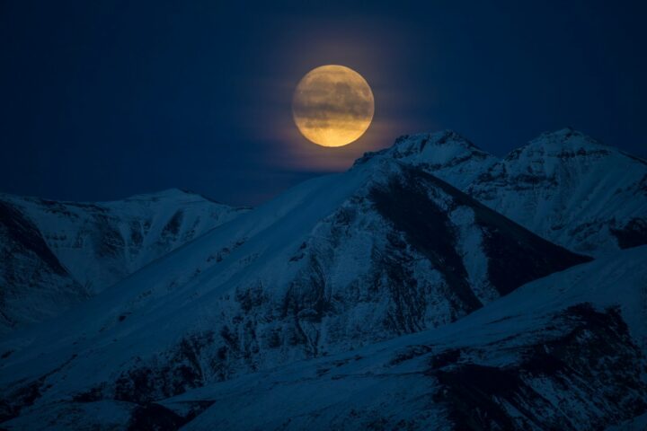
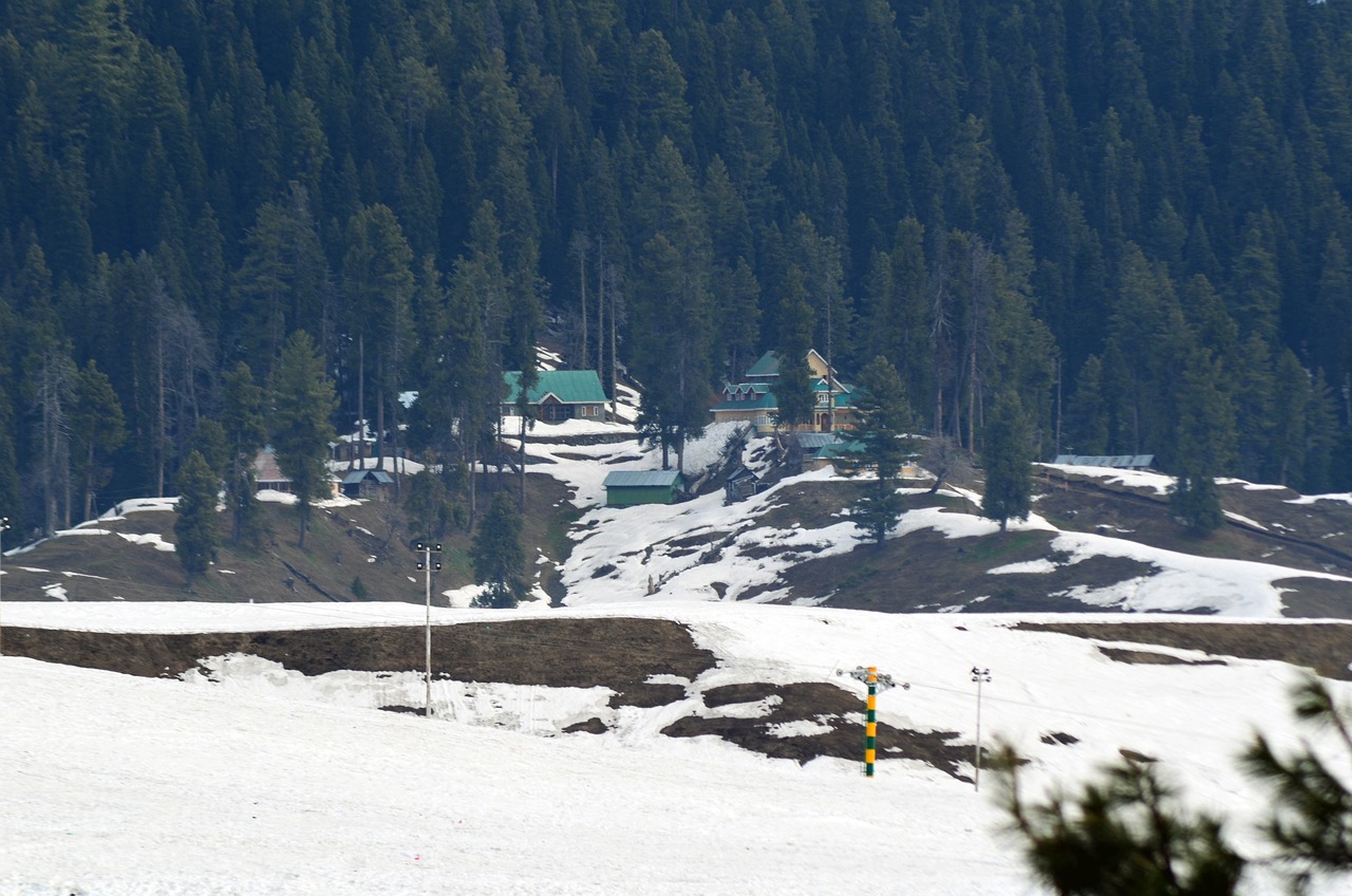
In last week January , the first major spell of the season affected Jammu and Kashmir, Under it’s influence many places of Jammu and Kashmir received Good amount of Precepitation. Higher Reaches Of J&K including Gulmarg, Sonamarg, Pahalgam, Peer Ki Gali, Doodhpathri, Bungas Valley, Gurez Valley Recieved Good amount of Snowfall During this spell.
Besides it, During the first week of February under the influence of another Western Disturbance J&K received Light to slightly Moderate Snowfall and Rainfall.
As per analysis of Some Meteorologists El nino effect is Gradually decreasing and loosing it’s intensity
Meteorologists
Weather Forecast
From late night of 17 February/ early morning of 18 February, under the influence of Fresh Western Disturbance Fairly Widespread Light to moderate Rain and Snow Expected in Jammu and Kashmir. Maximum Impact Of this Western Disturbance Likely over North Kashmir Districts and Parts of Pir Panjal. This Western Disturbance Will affect Jammu and Kashmir till 19 February Evening.
Another Western Disturbance Likely to affect Jammu and Kashmir, Ladakh from 20 February Morning, Under the influence of this Western Disturbance Fairly Widespread Light to Moderate and Somewhat Heavy Snowfall, Rainfall and Thundershowers Predicted In Jammu and Kashmir. The intensity of this Western Disturbance will be strong as compared to prior WD. The intensity of This Western Disturbance Will be more in Jammu Province as compared to Kashmir Valley.
Snowfall Prediction for Kashmir Plains
As per our analysis, During the first Western Disturbance some plains of North Kashmir May receive Light Snowfall, besides it some plains of Central Kashmir including Srinagar City may receive a mix of Rain and Snow during this spell, Chances are 50% . The intensity of this system will be weak over South Kashmir and hence chances of Snowfall in South plains are less.
During the second Western Disturbance there are 60% Chances of Fairly Widespread Light Snowfall over many plains of Kashmir Valley, lower Reaches of Pir Panjal and Chenab.
We are continuously monitoring the system and If System Change we will inform you accordingly.
Thundershowers Alert
During Second Western Disturbance, Light to Moderate Thundershowers Predicted over Jammu Plains including Samba, Kathua, Reasi , Udhampur and parts of Chenab Valley Districts.
Snow Avalanche
As Heavy Snowfall Predicted over Higher Reaches Of Jammu and Kashmir, It may cause Snow Avalanche over Avalanche prone areas of Ganderbal, Bandipura, Kupwara, Poonch, Rajouri, Shopian, Kulgam, Baramulla, Budgam, Anantnag, Ramban, Doda and Kishtwar Districts. Avoid to trek over Higher Reaches Of These Districts during these WD’s.