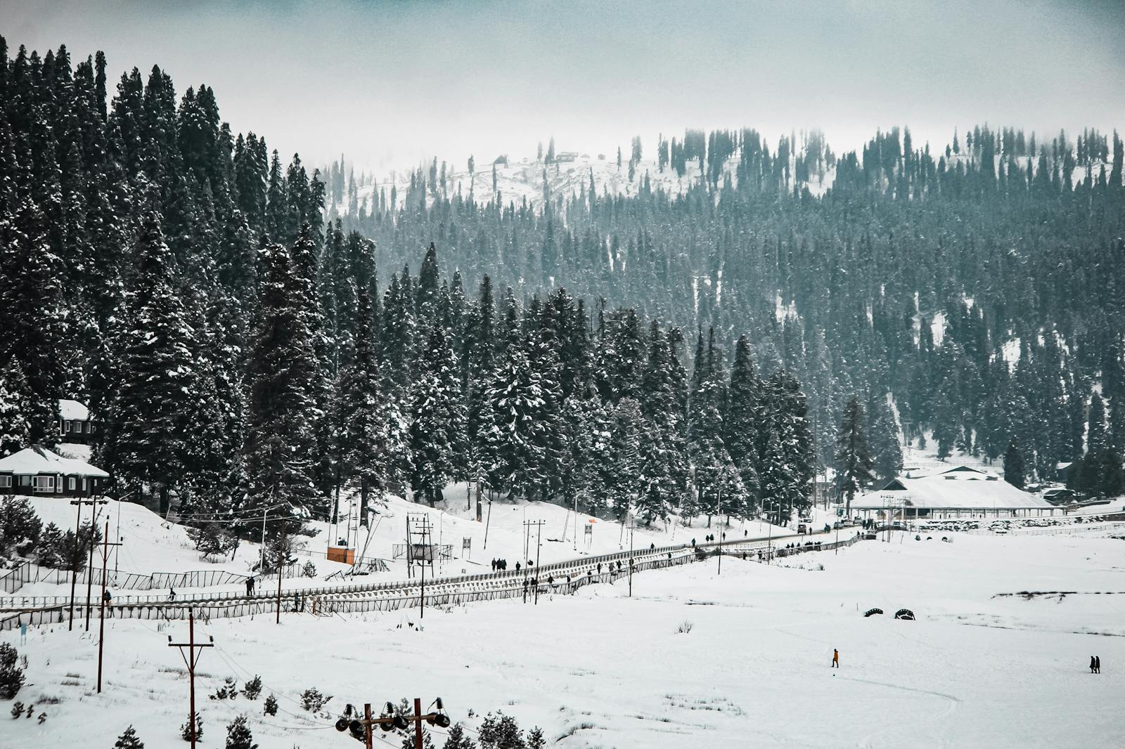
Good news for the peoples of Jammu and Kashmir regarding Weather, the prolonged Dry spell likely to end from Jammu and Kashmir by 24 January.
Back to Back Western Disturbances will bring fairly widespread Rain and Snow in Jammu and Kashmir, Ladakh between 25 January to 02 February.
Western Disturbances Intensity
The First Western Disturbance Will affect Jammu and Kashmir, Ladakh from the evening of 25 January to till 27 January.
The peak activity of this Western Disturbance is expected between 25 January late night to till 26 January Late afternoon. Under the influence of this Western Disturbance fairly widespread light to slightly Moderate Rain and Snowfall Expected In Many Parts of Jammu and Kashmir except few parts of Jammu , Samba and Kathua District. Overall Good amount of Precepitation Expected during this spell in Kashmir Valley, Poonch, Rajouri, Reasi, Udhampur, Ramban , Doda and Kishtwar Districts.
J&K Weather
During this spell some plains of Kashmir Valley may also experience Snowfall.
The Second Western Disturbance Will affect Jammu and Kashmir from 28 January, Under the influence of this Western Disturbance widespread Light to moderate and Somewhat heavy Rain and Snowfall Predicted In Jammu and Kashmir & Ladakh.
During this Western Disturbance many plains of Kashmir Valley may experience Good Snowfall.
J&K Weather
Note : There are many days left till 28 January and If system change we will update you accordingly.
For more accurate Updates do Visit on Indian Meteorological Department Website ( https://mausam.imd.gov.in)
Impact Of These WD’s
• Snow availanche may occur over the Higher Reaches Of Shopian, Kulgam, Budgam, Baramulla, Anantnag, Kupwara, Bandipura, Ganderbal, Poonch, Rajouri, Ramban, Doda and Kishtwar Districts.
• Traffic on Mughal Road, Jammu Srinagar National Highway, Srinagar Leh Highway may distrupt due to Snowfall accumulation.


