

A fresh Western Disturbance is affecting many parts of Jammu and Kashmir since yesterday’s morning. Under the influence of this Western Disturbance Fairly Widespread Moderate to Heavy and Somewhat very Heavy Rain, Thundershowers ( Snow over Higher Reaches) reported from many Parts of J&K.
As per reports the Higher Reaches Of J&K which are situated at the elevation of 3000M or above received fresh 3_5 feet Snowfall. More Snowfall Expected Over the Higher Reaches Of J&K during the next 12 – 24 Hours.
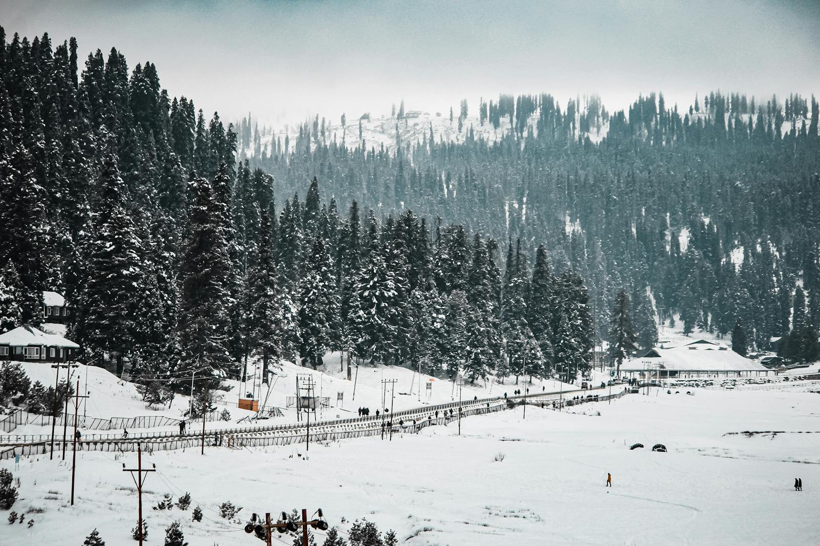
Sonamarg and Peer Ki Gali received more than 3 feet fresh snowfall since yesterday’s morning.
Hails and Thundershowers are also reported from many parts of Jammu Division since today’s early morning. Many plains of Kashmir Valley continuosly receiving light to Slightly Moderate Rain since yesterday’s morning.
Some plains of North Kashmir received Light Snowfall due to strong intensity of WD there.


Current Weather
Currently moderately Snowing over Higher Reaches Of Jammu and Kashmir. Moderate Thundershowers observed in parts of Jammu, Kathua, Samba, Rajouri, Poonch, Ramban, Reasi, Doda and Ramban district. Kashmir Valley Plains receiving moderate Rain.
Further Weather Forecast
Jammu Division : During the next 24 hours moderate Thundershowers Expected Over many parts of Jammu Division. Heavy Snowfall may also occur over Isolated Higher Reaches Of Poonch, Ramban, Doda and Kishtwar districts of Jammu Division. Gusty winds may also occur over some parts of Jammu Division During the next 24 hours. Take necessary precautions during gusty winds.
Kashmir Division : Currently Raining moderately over plains of Kashmir and Snow moderately over Higher Reaches Of Kashmir Valley. Moderate Snow likely to continue till the next 12 to 24 hours over the Higher Reaches Of Kashmir Valley while the Rain over Kashmir Plains may change to Snow as Temperature dips. Gusty winds may also occur over some parts of Kashmir Valley during the next 24 hours.
As per our analysis plains of Kashmir Valley may receive Light Snowfall during the next 24 hours. Chances of Snowfall over Kashmir Plains are 55%. Tomorrow the impact of Western Disturbance Likely to shift towards South Kashmir from North Kashmir districts.
Improvement in weather expected from 22 February evening and thereafter mainly Dry Weather Expected till 26 February.
However on 24 and 25 February Isolated Higher Reaches Of J&K may receive Light Snowfall .
J&K Weather
Another Western Disturbance Likely to affect Jammu and Kashmir, Ladakh from 26 February. Under its influence fairly widespread light to Slightly Moderate Rain and Snow Expected In Jammu and Kashmir.
We are closely monitoring the system and will update you regarding this in Coming Days.
J&K Weather
Leave a Reply Cancel reply